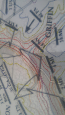
 Though tedious, it has been a useful exercise because sometimes the lines get hard to see, obscured by something on the map, or even almost overlapping. Tracing has let me work out what lines apply to each elevation.
It's also let me figure out the general lay of the land. Most of the battle field is at 150-170 feet.
I've also had yet another rethink and I've decided that I'm going to go with a 1mm cork with 2mm foamcore. I just couldn't find any 1mm board that would be sturdy enough so this will be a compromise of the heavy durability of cork and the cheapness of foamcore. It's going to be every second elevation line with the foamcore and the cork providing the step up between.
The next step is cut out the 100 foot mark, use it as a pattern on the foam core. Then I'll do the same for the 90 mark on the cork.
(I also apologize for the really crappy photography. The lens on my phone is so scratched up that all photos no look like they've been taken in a heavy fog.)

No comments:
Post a Comment